Kalinga Center for Research and Ecology
https://kalingacre.com/
Since our friends had given high praise on their visits to the center, it was on top of our list when a short vacation opportunity arose. Many excuses made us put it off like the long drive, leeches, monsoon, etc. One fine day it just clicked and we were on our way for a 2 night stay. Later, we were left wondering why we had postponed this trip for such a long time!
It is indeed a long drive from Bangalore about 7 to 8 hrs. There were no leeches or monsoon in March but rains are always fun here. We drove leisurely planning to reach KCRE for lunch. But a stop at Kuvempu Kavi Mane in Kuppali, a lovely tribute and museum dedicated to the poet, took a couple of hours. So, we had lunch at Theerthahalli and reached KCRE late around 4pm.
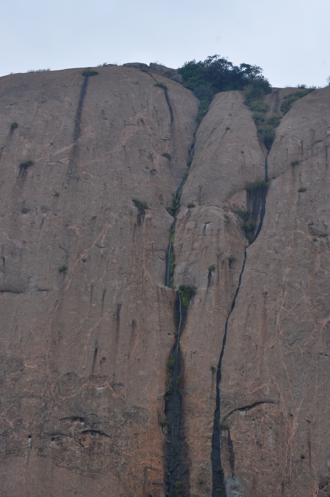
We fell in love with the place, as soon as we reached the welcome arch amid thick rainforest and walked down the steps to their dining/lounge area. It's like you are in the middle of the western ghats with views of trees all around you wherever you are. Lovely ambiance if you like nature in its purest form.
As soon as we settled in, there was a call to rescue a King Cobra, ie Kalinga!, at a nearby village. To our surprise, the whole team started getting ready in perfect synchronization. We were invited to join if we were interested. Of course, we were! As we drove out, a call updated us that the snake had gone up a tree, so rescuing it at night would be difficult. We chose to wait for future updates in a lovely hilly area with great views. Finally, any possibility of a nighttime rescue was called off and we drove back to the center in the dark with some unexpected but thrilling encounter with wild Gaurs that crossed our road.

After dinner, one of the interns took us for a night walk. There was hope of spotting some snakes or nocturnal animals. But we were unlucky. However, walking in torchlight in the forest even on the broad path was exciting. We switched off the torch a few times to experience what it feels like if you were an animal in the forest. We spotted a nightjar, several spiders, insects, and moths.
Mornings are our time to just bird around wherever we stay. At KCRE, we didn't have to go far as we were already in the middle of a great birding spot. So, we just ambled around the place and enjoyed relaxed birding. Yellow-browed bulbul, Crimson-backed sunbird, Black-naped monarch, and Black woodpecker, were some of the beauties we spotted. Later a student researcher working on Malabar Pit Vipers took us on a short walk and gave us sightings of the beautiful snake. It is so well camouflaged that it took us several minutes to spot even with him telling us exactly where it was resting about 10-20ft away!
 |
| Can you spot the snake? |
For an afternoon activity, there was a natural pool nearby. We followed another student intern who volunteered to take us there. It was a serene and peaceful spot in the middle of the rainforest. My wife who loves water immediately waded in while I walked around hunting for frogs, butterflies, odonates, and anything interesting. Our guide, settled down with her laptop to get some work done.
We had hardly spent about 30 minutes when her partner came running up to our spot from the center (about 1km away), yelled out that a rescue call had come, and promptly ran back. Of course, we wanted to be part of it too! So, we headed back at top speed and found that everyone had left already except for the intern who had selflessly informed us. We were instructed to head out as soon as possible. And we did with some adventurous driving, and many calls in between to the lead group to guide us on the rural roads, we managed to catch up just as they were about to enter the small village. whew!

All the running, driving, and hullabaloo to join the rescue was worth it as we watched enthralled Dr. Gowrishankar execute a perfect King Cobra rescue in difficult circumstances. The large adult snake had found some cozy accommodation in the external bath area which also doubled as a storage for this home. Gowri had to coax the snake out of that space and get it into the open area along a narrow corridor. After that risky maneuver, he guided the snake safely towards the prepared sack into which the 8 to 9-foot-long King Cobra happily slithered inside. The sack was then safely carried to the vehicle and released within hours at a suitable distance from the village into the forest where hopefully it will find a more natural home. Before heading out, Dr.
Gowrishankar spent some time with the villagers answering all their questions and allaying fears of the snake. Such debriefing and assurances ensure the villagers will reach out to KCRE whenever they encounter snakes rather than take dangerous risky solutions themselves.
Too soon our wonderful 2 day trip was over. We managed to do some morning birding before heading back to Bangalore. A wonderful trip that we hope to repeat sometime soon or as often as possible!
Selected images from our KCRE adventure.